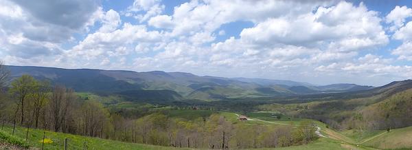
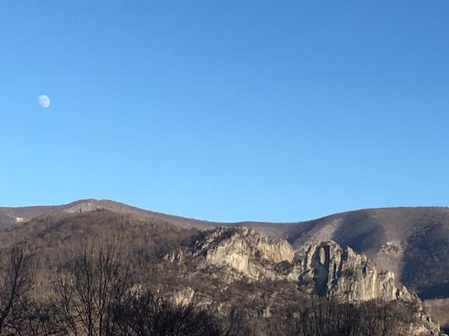
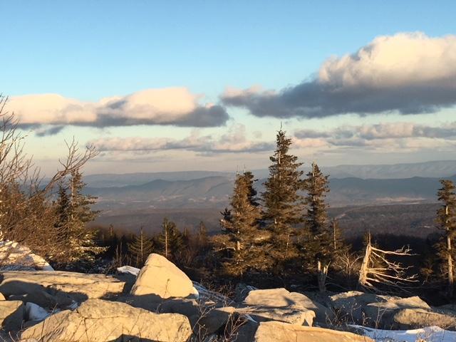
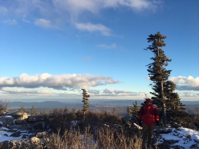
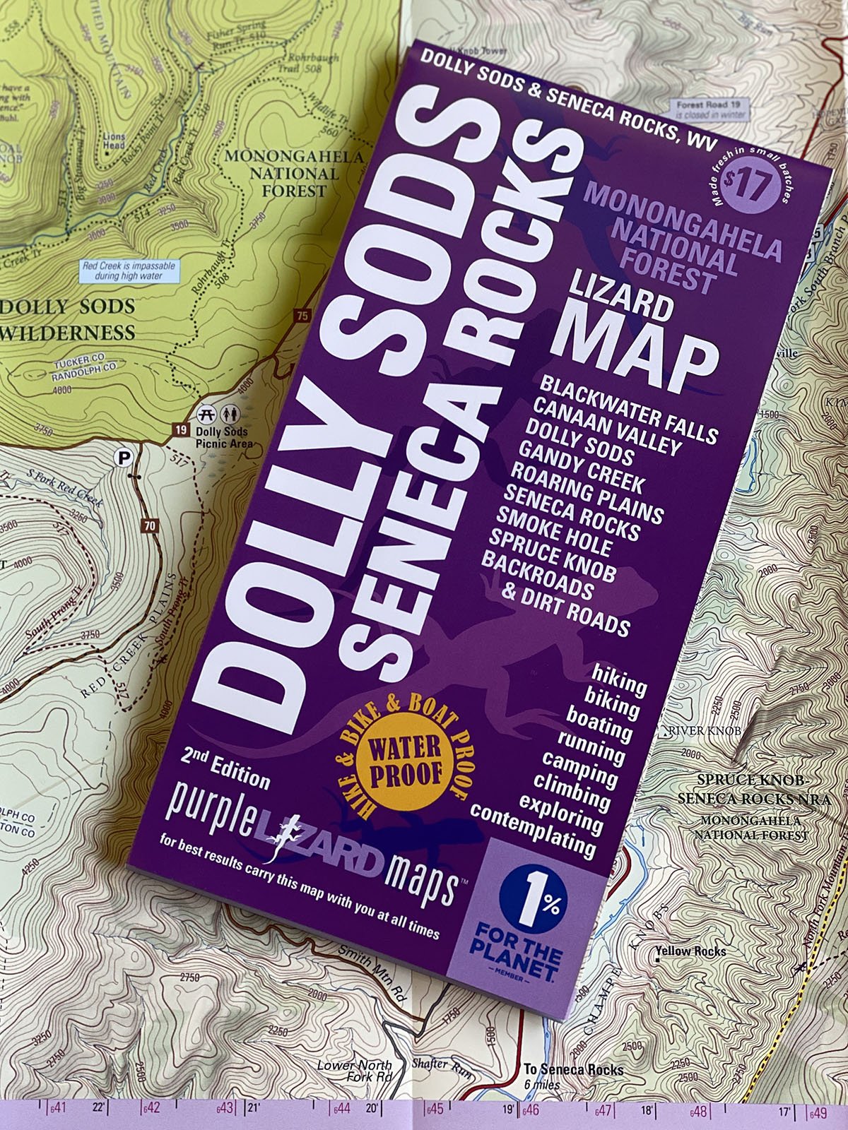
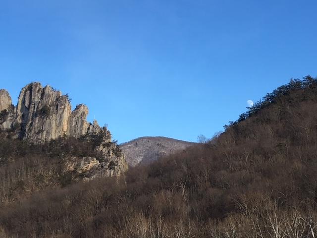
Public land: the northeastern tier of Monongahela National Forest, Blackwater Falls State Park, Canaan Valley National Wildlife Refuge, Canaan Valley State Park, Bear Rocks Preserve, Pike Knob Preserve, Dolly Sods Wilderness, Roaring Plains West Wilderness, Seneca Rocks, Smoke Hole and Spruce Knob.
Destinations: Red Creek Campground, The Road Across The Sky, Lower Glady Dispersed Camping Area, Gandy Creek Dispersed Camping Area, Spruce Knob Campground, Spruce Knob-Seneca Rocks National Recreation Area, Big Bend Campground and Johnny Meadows Camping Area.
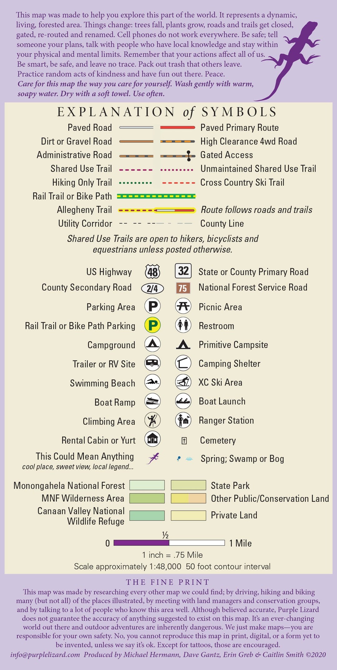
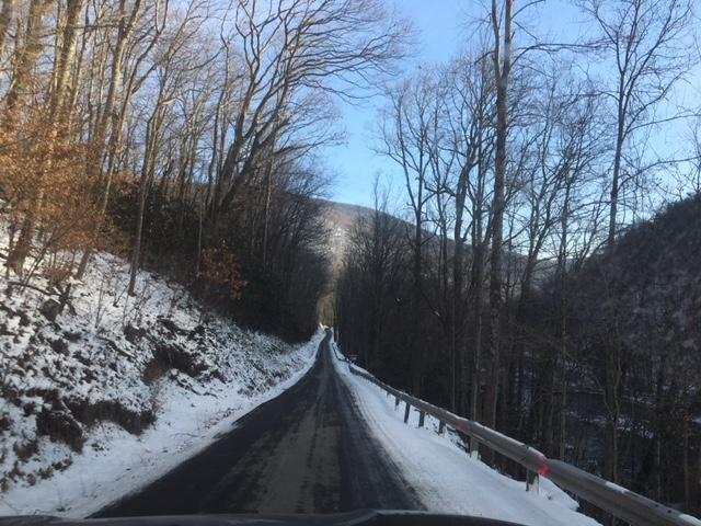
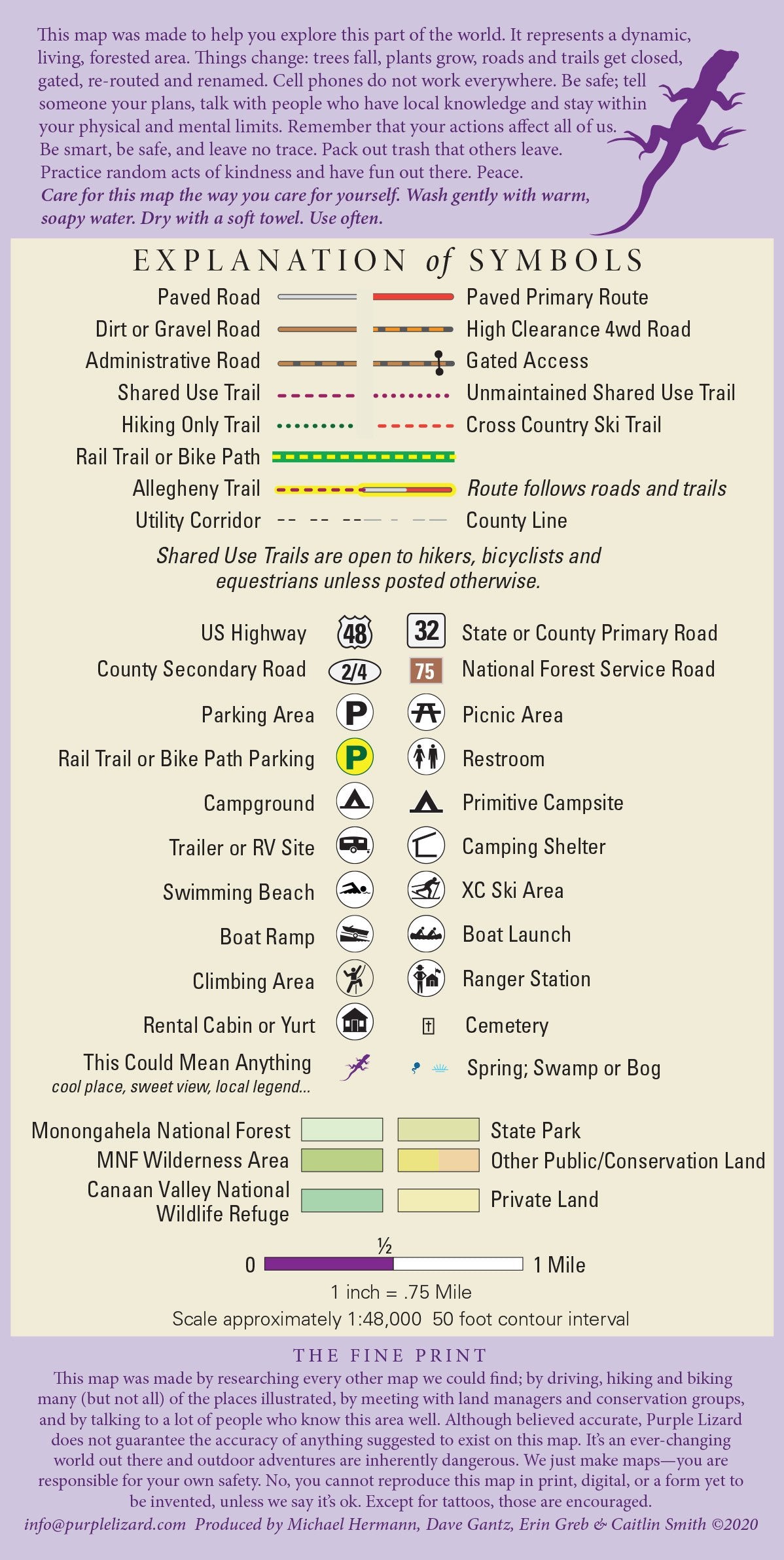
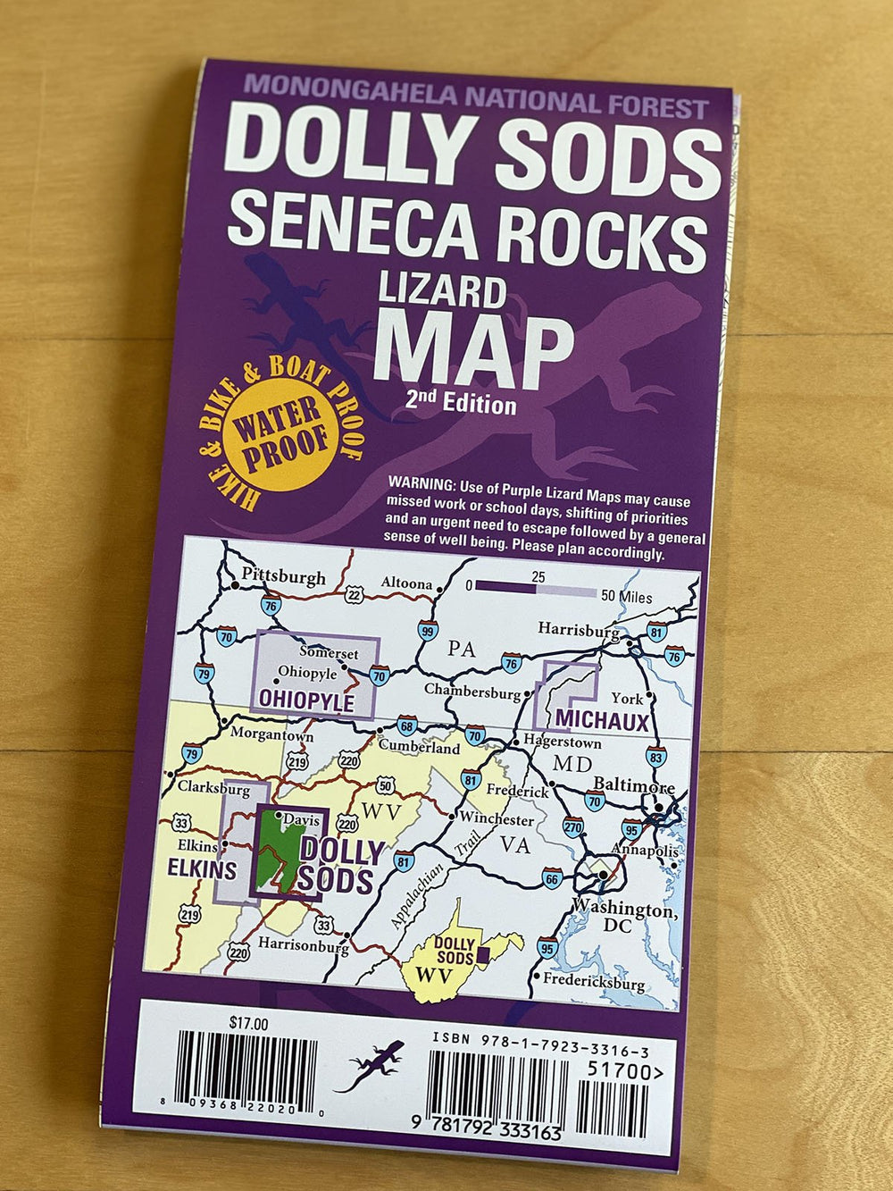
Roads: all Lizard Maps show which roads are paved, dirt/gravel or 4wd roads as well as which are gated. Perfect for bicyclists, dual sport riders and overlanders looking to put together a remote backcountry route across public lands.
Major hiking trails: designated hiking trails in the Dolly Sods Wilderness, Blackwater Canyon Trail, North Fork Mountain Trail, sections of the 300-mile Allegheny Trail, Huckleberry Trail, Seneca Creek Trail and Allegheny Mountain Trail.
Major biking trails: the mountain bike trails of Thomas and Davis, WV, including Moon Rocks and HooDoo, Hellbender, Plantation, Splash Dam and Rock Shocks Trail, the Blackwater Canyon Trail as well as the entire North Fork Mountain Trail.
Even more trails: Lizard Maps highlight and designate public trails and paths including hiking, biking, equestrian, skiing, snowmobiling and rail trails managed by federal, state and local authorities, including trails of Blackwater Falls and Canaan Valley State Parks, Wilderness Area trails and Thomas City Park trails and the Thomas Rail Trail.
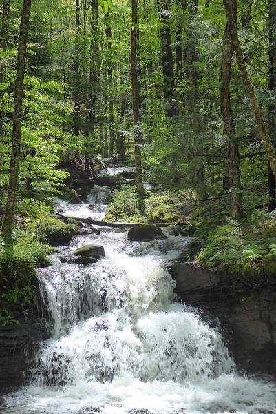
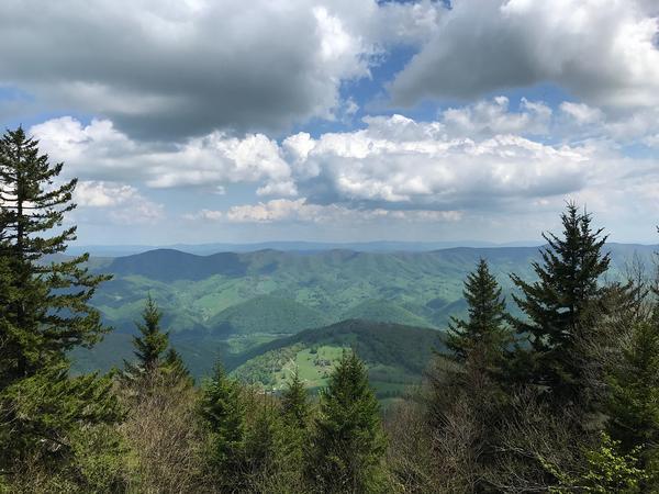
Points of interest: campgrounds, picnic areas, river access, boat launches, climbing areas, primitive car camping sites, scenic overlooks, observation towers, waterfalls and lizard spots.
Major rivers: Blackwater River, Dry Fork of the Cheat River, Seneca Creek, and the South Branch of the Potomac River.
Towns: Davis, Franklin, Petersburg and Thomas, WV.
Lizards Galore! The little purple Lizards you’ll find scattered on the map signify an interesting spot to check out. The Legend says “ This Could Mean Anything: cool place, sweet view, local legend”.